This map of Java was drawn before WW II. It shows the location of the 3 Concentration Camps described in the book in the Dutch spelling used at that time.
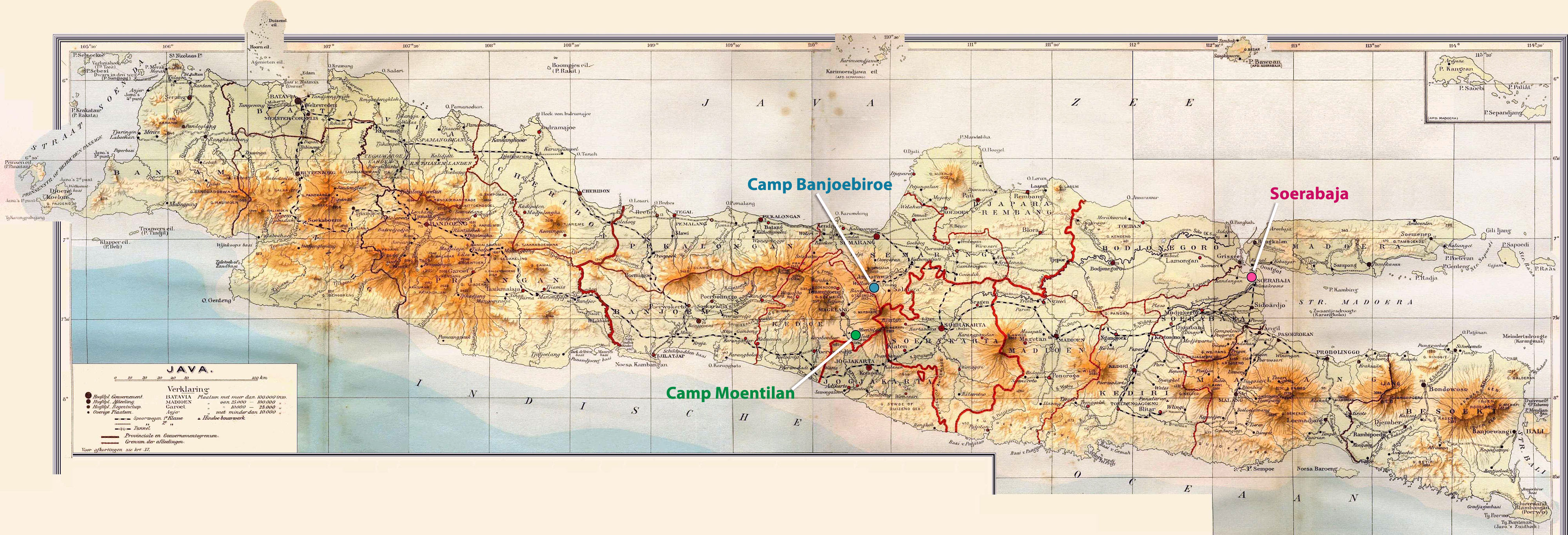
Please click the center of the map above to get a larger view.
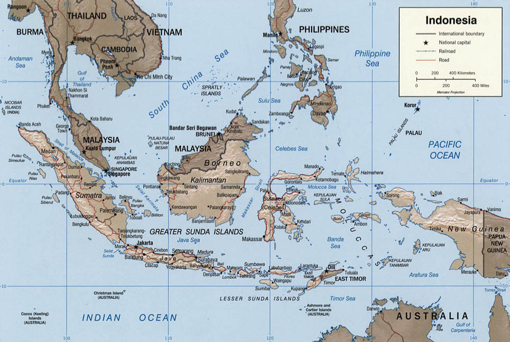
You are looking at a more recent map of the Indonesian Archipelago in English. It illustrates how widely spread out the Archipelago is and its proximity to the north-west coast of Australia. Also note the proximity of Cambodia and Vietnam, then French Indo China. The threatening presence of Japanese military forces in Indo-China some 5 months before Pearl Harbor is discussed in the book.

This third map is similar to the one above it with the additional feature that it clearly shows the geography. Look at the mountain ranges on all of the islands. It also shows the proximity of French Indo China (now Vietnam and Cambodia) more graphically. The presence of Japanese Army and particularly Air forces that close to Singapore and Java greatly worried my Father and his friends.
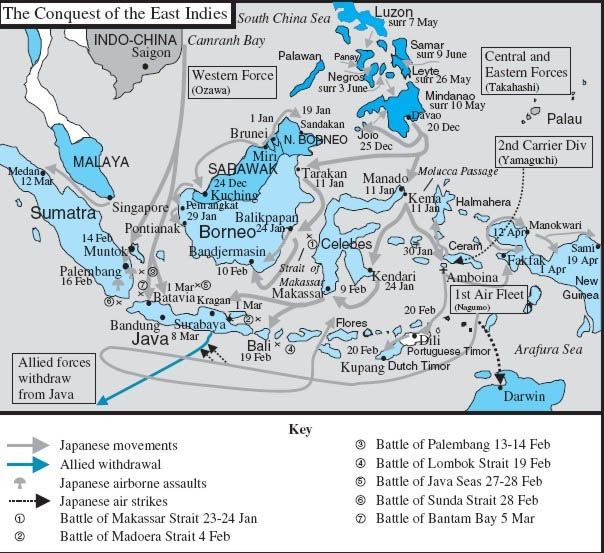
The Japanese invasion and conquest of the East Indies, including the Dutch East Indies, are shown. Please spot ⑤ The Naval Battle of the Java Sea. The defeat of the hastily assembled allied naval forces in this decisive battle left Java open for the oncoming invasion forces of the Japanese.